[vc_row][vc_column][vc_column_text css=””]
V15 has introduced some changes to the way we will work in 12dfield.
To apply a Geoid correction to a GNSS survey we no longer need:
– A TDF_HEL file to apply a Geiod correction
– winter files
– a tin
What is new in 12d Model is being able to use the GSB files directly.
Information on these files can be found here:
https://www.icsm.gov.au/australian-height-datum
And they can be downloaded from here:
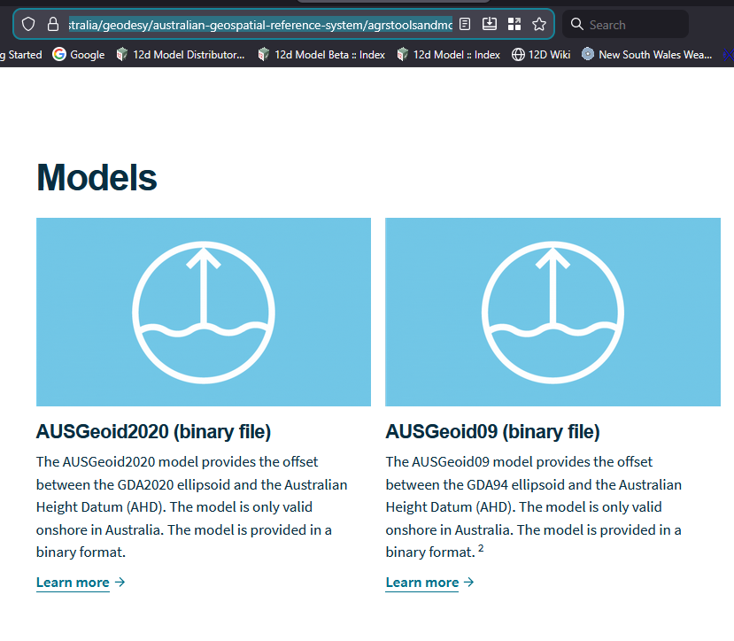
To use a GSB file directly in 12df, first it needs to be setup as a N_value source.
This is done under:
Project->Management->N values->create/edit[/vc_column_text][/vc_column][/vc_row][vc_row][vc_column][vc_single_image image=”9648″ img_size=”975 x 1000″][/vc_column][/vc_row][vc_row][vc_column][vc_column_text]Choose your GSB file:[/vc_column_text][/vc_column][/vc_row][vc_row][vc_column][vc_single_image image=”11014″ img_size=”full”][/vc_column][/vc_row][vc_row][vc_column][vc_column_text]
Once we have setup the N value, we need to apply it to a Co-ordinate system.
This is done under
Project->Management->Projections editor[/vc_column_text][/vc_column][/vc_row][vc_row][vc_column][vc_single_image image=”9665″ img_size=”975 x 1000″][vc_column_text]This opens up what may be to many of us a new style of editor.[/vc_column_text][vc_single_image image=”9664″ img_size=”975 x 1000″][/vc_column][/vc_row][vc_row][vc_column][vc_column_text]What the editor is telling us at the moment is:
we have no projections file in our working folder
we have no projection file in our user folder
but there is one in the setups area, and as this file gets deleted every time 12d Model in updated, we cannot edit this file: hence the (read-only) setting
To make a change, the first thing we do is copy a setting from the setups to our user folder.
The GSB N value I setup was for MGA2020, so I will add it to MGA Zone 56[/vc_column_text][/vc_column][/vc_row][vc_row][vc_column][vc_single_image image=”9672″ img_size=”975 x 1000″][/vc_column][/vc_row][vc_row][vc_column][vc_single_image image=”9673″ img_size=”975 x 1000″][/vc_column][/vc_row][vc_row][vc_column][vc_column_text]Now we add the N value to zone 56
and rename the the setting – we don’t want two zone 56 values[/vc_column_text][/vc_column][/vc_row][vc_row][vc_column][vc_single_image image=”9758″ img_size=”975 x 1000″][/vc_column][/vc_row][vc_row][vc_column][vc_column_text]Next 2 steps are
<set> and <write>[/vc_column_text][/vc_column][/vc_row][vc_row][vc_column][vc_single_image image=”9757″ img_size=”975 x 1000″][/vc_column][/vc_row][vc_row][vc_column][vc_column_text]
Now in 12df Instrument Selection
We get the option to choose the Co-ordinate system, with the N value applied, without a TDF_Hel file.[/vc_column_text][/vc_column][/vc_row][vc_row][vc_column][vc_single_image image=”9756″ img_size=”975 x 975″][/vc_column][/vc_row][vc_row][vc_column][vc_column_text]This will now work in every project, on this computer.
To transfer between users, or form a PC to a Tablet you need to copy:
carto.12dcarto and
nvalues.4d from/to the user area
and
your GSB files from/to your user_lib[/vc_column_text][/vc_column][/vc_row]